
Rugged Central Coast Wilderness
Listings in Big Sur, CA
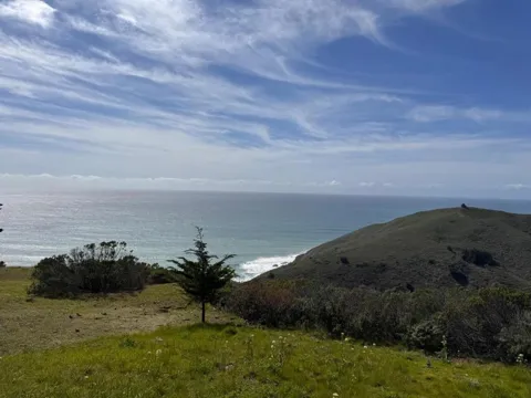
Welcome to Big Sur, the rugged stretch of California's Central Coast where the Santa Lucia Mountains meet the Pacific along Highway 1.
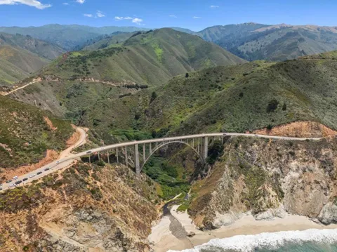
Big Sur is a rugged, sparsely settled stretch of California's Central Coast in Monterey County, where the Santa Lucia Mountains rise abruptly from the Pacific Ocean between Carmel Highlands and San Simeon. It is not an incorporated town but a region without formal boundaries, generally understood to include the roughly 71-mile segment of State Route 1 that runs along its coastline and the mountain backcountry behind it. Year-round residents number only about 2,000, spread among a handful of small settlements such as Big Sur Village, Lucia, and Gorda. The region's character is defined by its dramatic landscape and by the strict protections that keep it that way. The Big Sur Local Coastal Plan preserves the coast as open space, small residential communities, and agricultural ranchland, and severely limits development. Much of the interior lies within the Los Padres National Forest and the Ventana and Silver Peak wilderness areas, while a string of state parks—Pfeiffer Big Sur, Julia Pfeiffer Burns, Andrew Molera, Garrapata, Limekiln, and Point Sur—protects the coastline and its redwood canyons. Big Sur draws millions of visitors a year to landmarks such as McWay Falls, Pfeiffer Beach, the Bixby Creek Bridge, and the Point Sur Lightstation, one of the few complete 19th-century lighthouse complexes open to the public in California. Its literary and contemplative heritage runs deep, from Henry Miller's years in the area and the Henry Miller Memorial Library to the Esalen Institute and the New Camaldoli Hermitage. The Big Sur International Marathon, held along the coast each year, is among the region's signature events. School-age children attend small coastal schools, including Captain Cooper Elementary in the Carmel Unified School District and Pacific Valley School in the single-school Big Sur Unified School District. Services and housing are limited by design, and residents trade convenience for one of the most scenic, protected coastlines in the country. Big Sur suits those seeking a quiet, nature-centered life on a stretch of coast that remains deliberately undeveloped.
Get more information about Big Sur
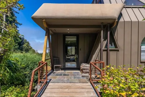
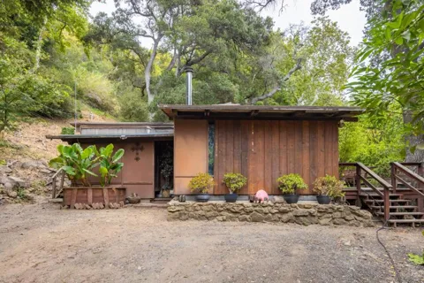
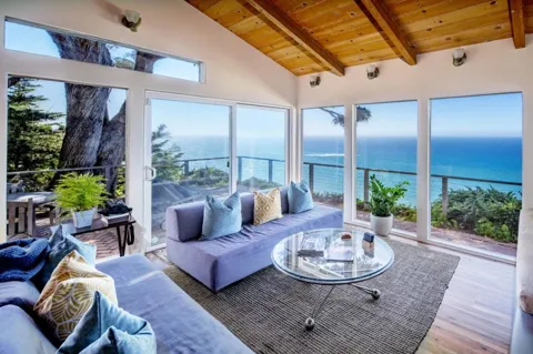
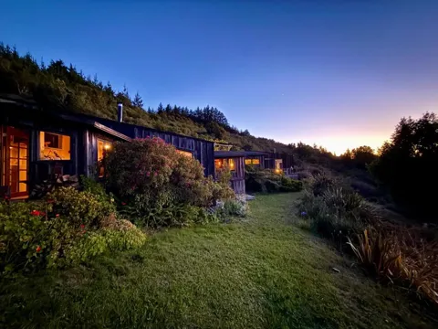
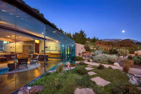
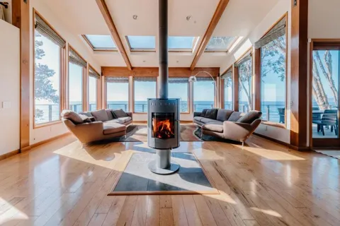
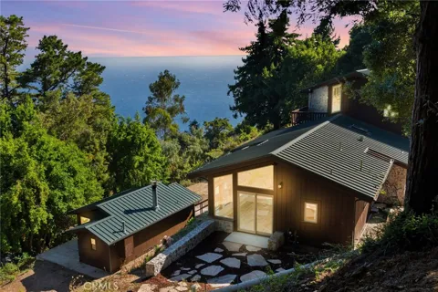
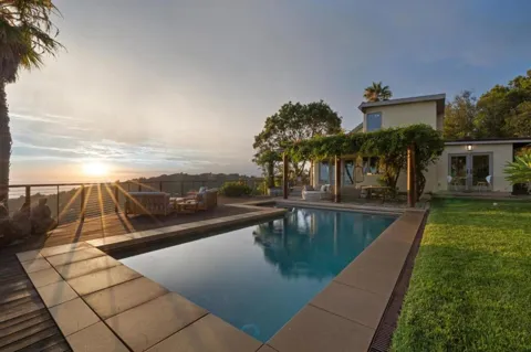
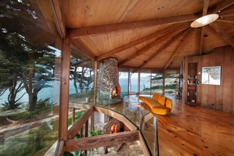
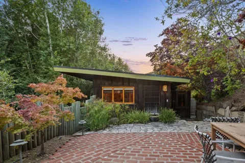
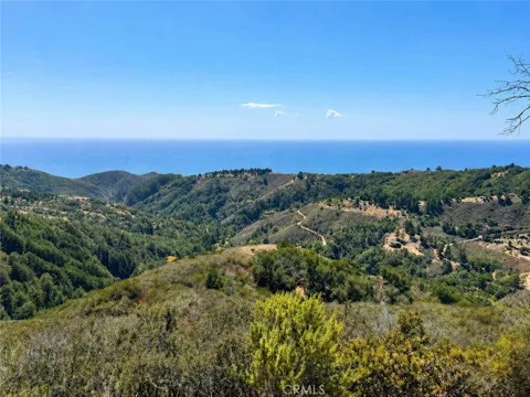
Houses in Big Sur, CA
MARKET SNAPSHOT
The Market at a Glance
How homes have been selling here over the last 90 days.
Price & Sales History
Market data reflects closed sales over the last 90 days and is provided for informational purposes.
Zip Codes
BROWSE BY ZIP
Browse listings by postal code in this area.
City Guide
About Big Sur
Real Estate & Housing
Big Sur's housing market is small and constrained by one of the strictest land-use frameworks in California. The Big Sur Local Coastal Plan limits development to protect viewsheds and open space, and a large share of the coastal region is held by public agencies that prohibit building. Housing consists of scattered homes, cabins, ranch properties, and a few small clusters of businesses and residences in the valley settlements, rather than subdivisions or urban neighborhoods. Short-term and visitor accommodations are limited by the same restrictions. The result is a thin, tightly regulated housing stock where properties tend to be rural, individual, and tied to the land, and where new construction is rare.
Neighborhoods
Big Sur has no true neighborhoods in the conventional sense; instead, a small permanent population is scattered across several roadside settlements. Big Sur Village, also called Posts, in the Big Sur River valley, is the main cluster of homes, services, and businesses. Farther south, the tiny settlements of Lucia, near Limekiln State Park, and Gorda, on the southern coast, offer a few services and homes. Between them, ranches, cabins, and hillside properties are strung along Highway 1 and the valleys that run back toward the mountains. This dispersed pattern is central to Big Sur's isolated, rural character.
Lifestyle in Big Sur
Life in Big Sur is defined by the landscape and by the region's small, independent spirit. There are no chain hotels, supermarkets, or fast-food outlets, and residents rely on a handful of small groceries, restaurants, and roadside businesses scattered along Highway 1. The area's literary and bohemian heritage—shaped by Henry Miller, the Esalen Institute, and the old folk festivals—still colors its identity, alongside the working ranches and volunteer institutions that keep the community running. Daily life means living with limited services, occasional highway closures from storms and landslides, and a deep reliance on neighbors. In exchange, residents inhabit one of the most scenic, protected coastlines in the United States.
Schools & Education
Big Sur's small student population is served by two coastal school systems. Captain Cooper Elementary, part of the Carmel Unified School District, sits on Highway 1 in the Big Sur valley, while Pacific Valley School, a pre-kindergarten-through-12th-grade school in the single-school Big Sur Unified School District, serves the southern coast. Enrollment is tiny, so classes are intimate and tied closely to the surrounding environment. For families needing a broader range of programs, the larger Carmel and Monterey school systems are a drive to the north, though the winding coastal highway makes that a meaningful trip.
Getting Around
State Route 1 is Big Sur's only through route, a narrow two-lane highway that clings to the cliffs for roughly 71 miles between Carmel Highlands and San Simeon. The road is famous for its scenery and equally known for closures caused by landslides and winter storms, which can isolate sections of the coast. Monterey–Salinas Transit provides limited public bus service, with summer service running a few times daily and weekend-only winter schedules. There is no rail and no airport within the region, and most residents drive for every trip. Access to Monterey, Carmel, and points north is via Highway 1, and the journey is part of daily life.
Parks & Recreation
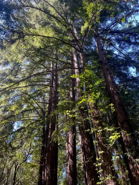
Big Sur's recreation is overwhelmingly outdoor. A chain of state parks—Pfeiffer Big Sur, Julia Pfeiffer Burns, Andrew Molera, Garrapata, Limekiln, and Point Sur State Historic Park—offers redwood trails, coastal headlands, and beaches such as Pfeiffer Beach and Sand Dollar Beach. The Los Padres National Forest and the Ventana and Silver Peak wilderness areas provide backcountry hiking and camping, including the Pine Ridge Trail into the Ventana Wilderness. Landmarks such as McWay Falls, the Point Sur Lightstation, and the Bixby Creek Bridge draw visitors year-round, while the Big Sur International Marathon and the Big Sur River Run anchor the events calendar. Swimming is limited by cold water and strong surf, but walking, photography, and wildlife viewing are constants.
About Big Sur
Frequently asked questions
Is Big Sur a city?
No. Big Sur is an unincorporated region of Monterey County rather than a city or town, generally considered to span the roughly 71-mile stretch of State Route 1 between Carmel Highlands and San Simeon, with about 2,000 year-round residents.
What county is Big Sur in?
Big Sur lies mostly within Monterey County, California, with its southern end reaching toward San Luis Obispo County. The region is protected by the Big Sur Local Coastal Plan and surrounded by state parks and national forest land.
What highway runs through Big Sur?
State Route 1, also called Highway 1, runs the length of the Big Sur coast, winding along the cliffs between Carmel Highlands and San Simeon. The road is celebrated for its scenery and is periodically closed by landslides and storms.
What schools serve Big Sur?
Captain Cooper Elementary, part of the Carmel Unified School District, serves the northern Big Sur area, while Pacific Valley School, a K-12 school in the Big Sur Unified School District, serves the southern coast.
What state parks are in Big Sur?
Big Sur's state parks include Pfeiffer Big Sur, Julia Pfeiffer Burns, Andrew Molera, Garrapata, Limekiln, and Point Sur State Historic Park. Together with the Los Padres National Forest, they protect the region's redwoods, beaches, and trails.
Still have questions about Big Sur?
Get in touchExplore the area
